Click the dust bin next to the captures you want to delete to have both the pass/capture removed from the database and all associated images deleted. **WARNING**: This is irreversible, so please ensure this is what you want!
Page 2 of 2
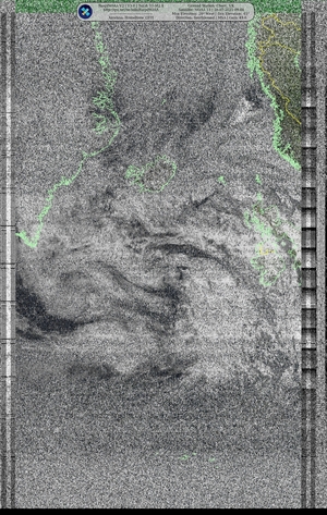
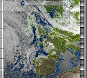
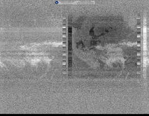
| Satellite | Pass Start / Max Elevation | Image | |
|---|---|---|---|
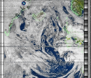
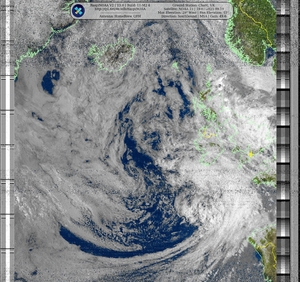
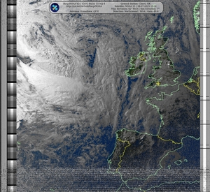
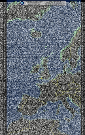
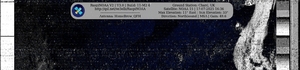
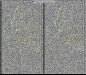
| METEOR-M2 4 | 07/19/2025 14:30:54 @ 64° |

|
|
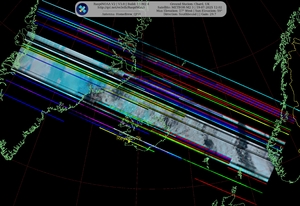
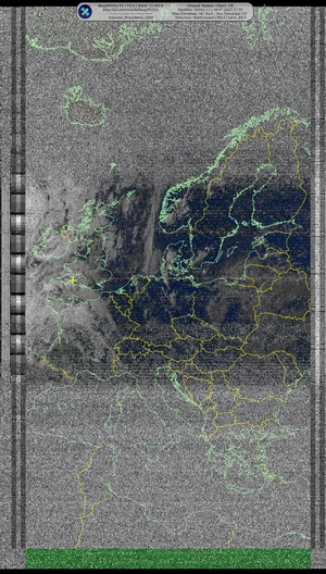
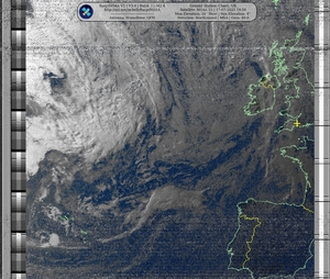
| METEOR-M2 3 | 07/19/2025 13:29:08 @ 2° |

|
|
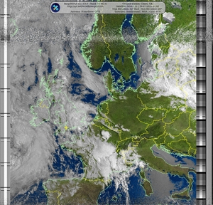
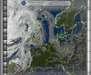
| METEOR-M2 4 | 07/19/2025 12:51:57 @ 25° |

|
|
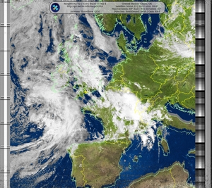
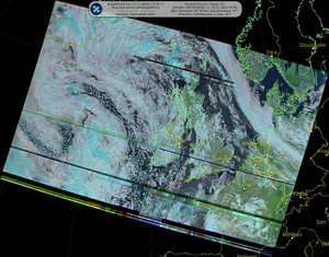
| NOAA 19 | 07/19/2025 12:04:51 @ 24° |
|
|
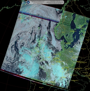
| METEOR-M2 3 | 07/19/2025 11:47:49 @ 17° |
|
|
| NOAA 19 | 07/19/2025 10:23:53 @ 68° |
|
|
| METEOR-M2 3 | 07/19/2025 10:07:24 @ 83° |
|
|
| NOAA 15 | 07/19/2025 09:02:57 @ 29° |
|
|
| NOAA 19 | 07/19/2025 08:43:57 @ 12° |
|
|
| NOAA 15 | 07/19/2025 07:22:57 @ 52° |
|
|
| NOAA 18 | 07/18/2025 23:32:09 @ 22° |
|
|
| NOAA 15 | 07/18/2025 19:14:03 @ 42° |
|
|
| NOAA 15 | 07/18/2025 17:34:35 @ 34° |
|
|
| NOAA 18 | 07/18/2025 13:41:01 @ 14° |
|
|
| METEOR-M2 3 | 07/18/2025 10:30:38 @ 56° |
|
|
| NOAA 15 | 07/18/2025 09:29:14 @ 20° |
|
|
| NOAA 15 | 07/18/2025 07:49:04 @ 82° |
|
|
| NOAA 15 | 07/18/2025 06:09:53 @ 14° |
|
|
| NOAA 18 | 07/17/2025 23:45:33 @ 18° |
|
|
| NOAA 18 | 07/17/2025 22:03:10 @ 83° |
|
|
| NOAA 18 | 07/17/2025 20:24:30 @ 18° |
|
|
| NOAA 15 | 07/17/2025 19:40:43 @ 26° |
|
|
| NOAA 15 | 07/17/2025 18:00:17 @ 54° |
|
|
| NOAA 15 | 07/17/2025 16:23:22 @ 11° |
|
|
| NOAA 18 | 07/17/2025 13:54:02 @ 11° |
|
|
| METEOR-M2 4 | 07/17/2025 13:34:13 @ 48° |

|
|
| METEOR-M2 3 | 07/17/2025 12:34:39 @ 8° |

|
|
| NOAA 18 | 07/17/2025 12:12:45 @ 50° |
|
|
| METEOR-M2 3 | 07/17/2025 10:53:55 @ 38° |
|
|
| NOAA 18 | 07/17/2025 10:32:08 @ 30° |
|
|
| NOAA 15 | 07/17/2025 09:55:34 @ 14° |
|
|
| METEOR-M2 3 | 07/17/2025 09:13:52 @ 38° |
|
|
| NOAA 15 | 07/17/2025 08:15:14 @ 64° |
|
|
| NOAA 15 | 07/17/2025 06:35:40 @ 22° |
|